
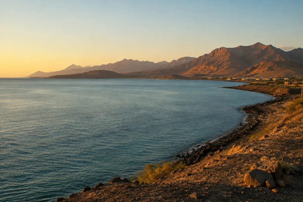
A Horn of Africa map points to the easternmost projection of the African continent: a vast peninsula between the Red Sea, the Gulf of Aden, and the Indian Ocean. It is easy to notice as the continent’s northeast horn, but its outline tells a larger story of highlands and lowlands, inland economies and sea lanes, long-distance exchange, and borders that have changed within living memory.
Find the Horn of Africa on a Map
On Africa’s northeastern corner sits the Horn of Africa. To the north, the Red Sea forms its edge; to the east lies the Gulf of Aden; and along the southeast runs the Indian Ocean. Roughly midway between the Equator and the Tropic of Cancer, it is the fourth-largest peninsula in the world.
At its farthest point lies Cape Guardafui, or Gees Gwardafuy, in Somalia. From there, the African coast faces the waters leading toward the Arabian Peninsula. At the southern entrance to the Red Sea sits the Bab al-Mandab Strait, the closest and most consequential water passage in this setting.
On a map, the Horn can look deceptively compact. About 2 million square kilometers make up the area. At about 1.1 million square kilometers, Ethiopia alone accounts for more than half of that total.
Which Countries Belong to the Horn of Africa?
In the narrow geographic definition, four countries make up the Horn: Somalia, Djibouti, Ethiopia, and Eritrea. For reading a Horn of Africa map, this is the most useful starting point because around the peninsula and the Red Sea–Gulf of Aden junction lies their geographic core.
| Definition | Countries included | Why it is used |
|---|---|---|
| Core Horn | Somalia, Djibouti, Ethiopia, Eritrea | Describes the peninsula and its closest geographic setting. |
| Broader regional use | The core four, plus Kenya, Sudan, South Sudan, and Uganda | Connects neighboring states through history, economies, and regional institutions. |
| IGAD membership | Djibouti, Eritrea, Ethiopia, Kenya, Somalia, Sudan, South Sudan, Uganda | Describes the eight states in the Intergovernmental Authority on Development. |
Rather than competing answers to a trick question, these categories address different questions: physical geography, a wider political region, and institutional membership. Geographically, Somaliland is part of the Horn as well; it has been de facto independent since 1991 but is not internationally recognized.
Read the Coast, Borders, and Landscapes Behind the Outline
At Africa’s easternmost mainland edge lies Somalia. To the northwest it borders Djibouti, to the west Ethiopia, and to the southwest Kenya; to the north is the Gulf of Aden and to the east the Indian Ocean. At about 3,333 kilometers, its coastline is the longest of any mainland African state. Its capital and largest city is Mogadishu, with about 2.7 million people.
Across the core Horn, terrain changes sharply. In the Simien Mountains, Ethiopia’s high plateau reaches 4,550 meters. By contrast, the Danakil Depression in Ethiopia and Eritrea falls as low as 155 meters below sea level. Another distinct landscape is the Ogaden Desert.
Across the Horn, among the Afroasiatic languages spoken are Somali, Oromo, Amharic, and Tigrinya. About 5,000 vascular plant species occur here, roughly half endemic to the region; more than 285 reptile species are recorded, with around 90 found nowhere else.
Why This Corner of Africa Matters to Global Trade
Because of its location, the Horn is a meeting point between the African continent, the Middle East, and maritime routes toward Asia and Europe. At its northern approaches, only 26 kilometers wide at its narrowest point, is Bab al-Mandab. There, two shipping channels of about 3.2 kilometers each separate incoming and outgoing vessels.
Through the Suez Canal and Bab al-Mandab route passes between 12 and 15 percent of global maritime trade. About 30 percent of global container traffic moves through the Suez Canal, carrying goods valued at more than $1 trillion each year. If Bab al-Mandab were closed, tankers would need to travel around the Cape of Good Hope, adding time and cost.
Routes on land matter just as much
For Ethiopia, the Addis Ababa–Djibouti Corridor is the principal trade route: about 95 percent of its foreign trade moves through the Port of Djibouti. To the east, the Port of Berbera in Somaliland competes as a gateway for Ethiopian trade. By road, rail, and pipeline, the planned LAPSSET corridor would link Kenya, South Sudan, and Ethiopia.
See How History Redrew the Horn of Africa
The Horn was not always separated from the Arabian Peninsula. Up to 18 million years ago, one landmass contained both before continental drift created the Gulf of Aden. Around 2500 BCE, across parts of today’s Sudan, Eritrea, Djibouti, Somalia, and the Red Sea coast, probably lay the ancient kingdom of Punt, a major trading partner of ancient Egypt.
From the first through seventh centuries CE, the Aksumite Empire controlled trade between the Roman Empire and India through the Red Sea port of Adulis. Beginning in the first millennium BCE, Red Sea trade was also shaped by Somali coastal city-states.
Later changes appear in modern political boundaries. After the Suez Canal opened in 1869, European colonization began: Italy occupied Eritrea, France occupied Djibouti, and Britain and Italy divided Somalia. In 1993 came Eritrea’s independence from Ethiopia. In 2011 came South Sudan’s independence. In 1960, British Somaliland and Italian Somaliland became independent days apart and then united as the Somali Republic.
Understand Development Through Climate and Cooperation
Across the region, central to development is climate. From March to May, the long rains account for 60 percent of annual rainfall; from October to December come the short rains. From October 2020 to early 2023, East Africa experienced five consecutive failed rainy seasons, the worst drought in 40 years.
During the 2021–2023 drought, more than 13 million livestock died in Somalia, Ethiopia, and Kenya, and more than 31.9 million people were affected across those three countries. Around 80 percent of people in the Horn depend on agriculture or pastoralism, making rainfall patterns central to household livelihoods. According to a 2023 World Weather Attribution study, climate change had made droughts of this kind about 100 times more likely.
In 1986, six drought-affected countries—Djibouti, Ethiopia, Kenya, Somalia, Sudan, and Uganda—created the Intergovernmental Authority on Drought and Development. In 1996, the organization became IGAD, with a wider mandate covering economic cooperation, political security, and development integration. Its secretariat is in Djibouti City.
Common Map Misconceptions to Leave Behind
The Horn is not a single fixed list of countries
Four countries form the geographic core, while broader regional and IGAD definitions include additional neighbors.
A Mercator map does not show Africa at its true relative size
At about 30.37 million square kilometers, Africa is far larger than the United States at 9.83 million square kilometers. In other words, the continent is about 3.1 times as large. On Mercator projection maps, Greenland, Canada, and Russia appear disproportionately large, which can make the African continent look much smaller than it is.
The Horn is more than arid land
Important as drylands are to the region, they are not the whole picture. In a fuller view belong the highlands, low-lying Danakil Depression, long coasts, diverse languages, trade corridors, and distinctive plant and animal life.
Frequently Asked Questions
Where is the Horn of Africa located?
At Africa’s northeastern edge is this peninsula. To its north lies the Red Sea, to its east the Gulf of Aden, and to its southeast the Indian Ocean; in Somalia, Cape Guardafui marks its farthest point.
Which countries are in the Horn of Africa?
Under the narrow definition fall Somalia, Djibouti, Ethiopia, and Eritrea. Broader regional definitions also include Kenya, Sudan, South Sudan, and Uganda.
Where is Somalia located?
On the Horn of Africa lies Somalia, the easternmost country on the African mainland. Along its borders are Djibouti, Ethiopia, and Kenya; beyond its coasts are the Gulf of Aden and Indian Ocean.
Is Africa bigger than the United States?
Yes. At about 30.37 million square kilometers, Africa is about 3.1 times the area of the United States, at 9.83 million square kilometers.
What are all 54 countries in Africa?
The United Nations recognizes 54 sovereign states in Africa: Algeria, Angola, Benin, Botswana, Burkina Faso, Burundi, Cabo Verde, Cameroon, Central African Republic, Chad, Comoros, Congo, Democratic Republic of the Congo, Djibouti, Egypt, Equatorial Guinea, Eritrea, Eswatini, Ethiopia, Gabon, Gambia, Ghana, Guinea, Guinea-Bissau, Ivory Coast, Kenya, Lesotho, Liberia, Libya, Madagascar, Malawi, Mali, Mauritania, Mauritius, Morocco, Mozambique, Namibia, Niger, Nigeria, Rwanda, Sao Tome and Principe, Senegal, Seychelles, Sierra Leone, Somalia, South Africa, South Sudan, Sudan, Tanzania, Togo, Tunisia, Uganda, Zambia, and Zimbabwe.
What should a Horn of Africa map quiz or ETS2 map cover?
A useful quiz should identify the Red Sea, Gulf of Aden, Indian Ocean, the four core countries, Cape Guardafui, and Bab al-Mandab. For Euro Truck Simulator 2, Horn of Africa v1.1.4 is compatible with game version 1.57 and ProMods 2.80; it adds Ethiopia and locations in Somalia and Kenya.